- WEATHER
Australia
- National
- New South Wales
- Victoria
- Queensland
- Western Australia
- South Australia
- Tasmania
- ACT
- Northern Territory
Long Range Forecasts
- WARNINGS
- RADAR
- SATELLITE
- MAPS & CHARTS
- LONG RANGE
Long Range Forecasts
- CLIMATE
Climate Indicators
- NEWS
Marine Weather
Central North Marine Weather Overview
 navigate by marine district
Derwent Estuary
Hobart Waters
Inland Waters
Far Northwest
Central North
Northeast
Banks Strait
Upper East
Lower East
Southeast
Southwest
Central West
 most recent warnings
TAS - Wed 10:00 ESTGale Warning for Lower East, South East & South West coasts
View all current warnings
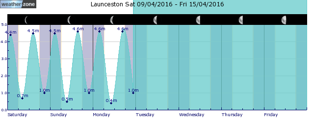
tides for Burnie
tides for Launceston
 forecast
West to southwesterly 20/30 knots. Seas: 2/3 metres. Swell: Westerly around 1 metre inshore, increasing to 1/1.5 metres offshore. Outlook Thursday: Southwesterly 15/25 knots, reaching up to 30 knots during the morning and early afternoon. Seas: 1.5/2.5 metres. Swell: Westerly below 1 metre inshore, increasing to 1/1.5 metres offshore. Outlook Friday: Southwesterly 15/20 knots. Seas: 1/2 metres. Swell: Westerly around 1 metre.
Issued Wed 10:00 ESTSeas: Up to 3.0m
Swell: Up to 1.5m, W
forecast winds
Wednesday: W/SW 20/30 ktsThursday: SW 30 kts
Friday: SW 15/20 kts
- locations
- Low Head
- Bridport
- Scottsdale
- Wynyard
- Burnie
- Devonport
- Launceston
Sun & Moon Times
| first light | sunrise | sunset | last light | moon rise | moon set | moon phase | last quarter | new moon | first quarter | full moon |
|---|---|---|---|---|---|---|---|---|---|---|
|
06:22 EST |
06:50 EST |
17:26 EST |
17:55 EST |
17:23 EST |
07:55 EST |
|
May 1 |
May 8 |
May 15 |
May 23 |
Rainfall to soak some parched areas of WA
13:00 AEST Rain could finally fall over parts of southwestern WA over the next week, wetting areas that have barely seen any rain for months. This rainfall will be caused by a low pressure trough extending from the Kimberley down to southwestern WA from late Thursday, with a low pressure system developing within it early to mid-next week. The images below shows that widespread rainfall of between 15 to 30mm is forecast in the week across western and southern WA, with isolated falls of between 40 to 60mm in the Gascoyne and Goldfields districts. Image: Accumulated rainfall to 8pm AWST on Thursday, May 2, according to Access (top) and ECMWF (bottom) You can see there is still some uncertainty about where and how much rainfall will fall in these areas late this week and early next week, with one model placing rain over Perth and the other predicting it will completely miss the city altogether. The heaviest rainfall days are likely to be Friday and mid next week when the low pressure system develops.
- 10:33 AEST Tassie snow, Melbourne temps go low
- 16:40 AEST Australia's tropical cyclone season coming to an end
- 10:07 AEST Wind returning to southeastern Australia
- 16:32 AEST Anzac Day dawn service weather around Australia


