Australian long range seasonal weather forecast
Climate Drivers and Outlooks
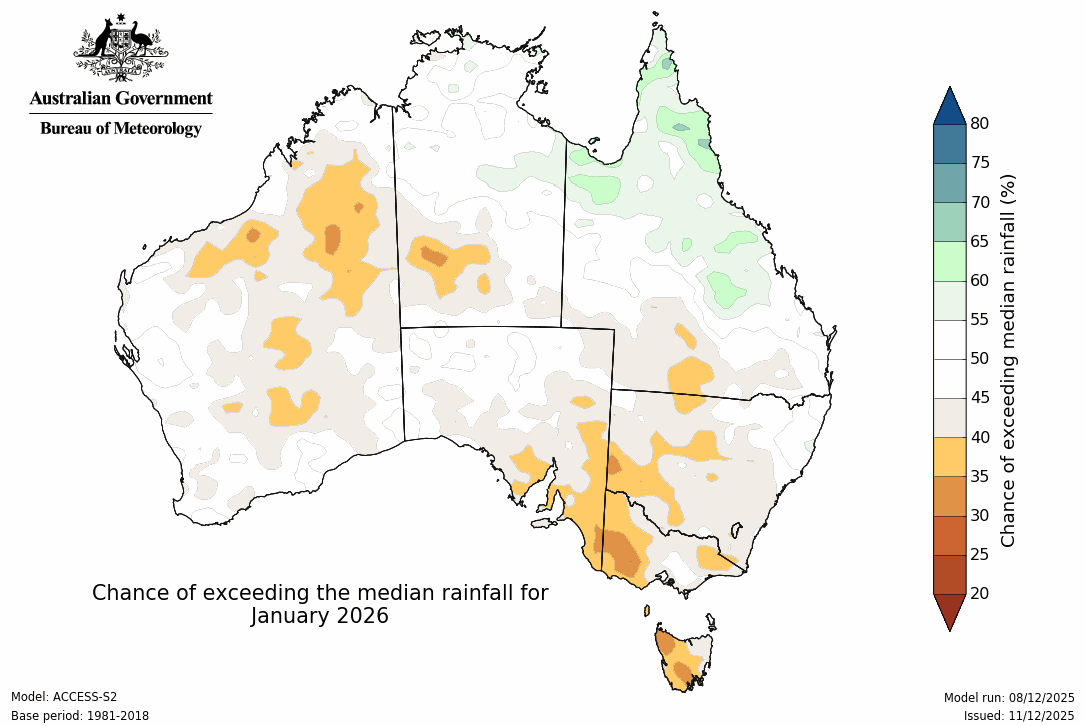
Map Type
Forecast Period
Updates daily in the late afternoon
The latest forecast from BoM.
Green and blue indicate above average rain. Orange and brown indicate below average rain.
Advertisement