- WEATHER
Australia
- National
- New South Wales
- Victoria
- Queensland
- Western Australia
- South Australia
- Tasmania
- ACT
- Northern Territory
Long Range Forecasts
- WARNINGS
- RADAR
- SATELLITE
- MAPS & CHARTS
- LONG RANGE
Long Range Forecasts
- CLIMATE
Climate Indicators
- NEWS
Canberra Forecast Meteograms
- model
- BoM 3-day
- BoM 10-day
- US 7-day
About Weatherzone Meteograms
Meteograms are a means of displaying a computer model forecast for a certain point within the domain over which the model runs. They compliment charts which show output over the whole domain (or part of the domain) for one time step.
Roll over the vertices on the meteograms with your mouse to see numeric values.

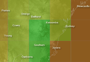
The GFS model output comes at a resolution of 1° meaning many places with relatively different climates may lie within the same grid cell.
A computer model operates by dividing the atmosphere into grid cells which may be quite large so it's important to factor the spatial resolution of the model into your interpretation of the output (see below).
In addition, different models output data for different time steps. Using a model with an output time interval of 6 hours a temperature of 20° at analysis time and a predicted temperature of 15° six hours later will be displayed with a line between the two but of course there may be fluctuations between those times (a spike to 25°, for example) which will not be reflected.
A meteogram shows the general nature of what may be experienced within the area in which the point lies, over time. Some local knowlegde (the likely effects of elevation and terrain in a certain weather pattern, for example) will help you refine this guidance.
See the weather glossary for definitions of terms used on this page.
About GFS
(definition not available)
Severe thunderstorm outbreak hitting eastern Australia
12:19 AEDT Violent thunderstorms will pummel parts of NSW, Queensland, Victoria and the ACT over the next couple of days, with potential for supercells and a dangerous squall line late on Wednesday.
